- Photo Album
- GPS trace
- Start: Hinter Bruch (915m)
- End: Mutteristock (2294m)
- Climb: 1786m [due to backtracking]
I had planned to try Mutteristock for this week. The normal path (R.155) is a classic T3, with varied landscape including fields, forests, scree and rocks fields. This is the beginning of the route:
 |
| Up a field.. |
 |
| Through a forest... |
 |
| To Mutteriberg! |
However, I wanted to try one of the alternative paths (R.156[-/a/b/c]) from the West side. The problem is, most of these paths are described very briefly in the SAC guide.
Take R.156: It says 'Over the SW flank of Mutteriberg, on the W ridge of Mutteristock, and following it, with some light climbing, get to the top'. Now, Mutteriberg has a kind of strange shape, and I wasn't sure where the climb should be. But I thought I'd try, and if I failed to find a route, I could always do 156b: 'The summit can also be reached through the valley between Mutteriberg and Rund Chopf. Blocks (Karren), a little climbing'. Again, a bit vague.
So, I started up (and wasted a bit of time trying to find the old and more direct path to Mutteri). Going up through the valley, I kept thinking that the paths up Mutteriberg didn't really look like T4s, until I was quite high up. Then I saw this:
 |
| A probable way to Mutteriberg. |
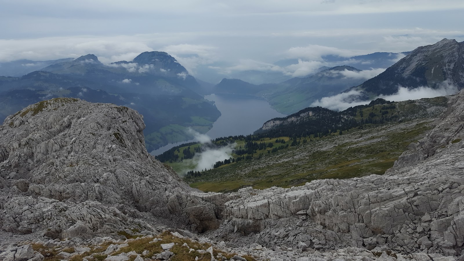
In the distance, one could see the valley approaching Mutteristock.
 |
| The valley |
Going further up, the way continued to look doubtful. Sometimes I found traces of a path, but mostly not.
 |
| Pit stop |
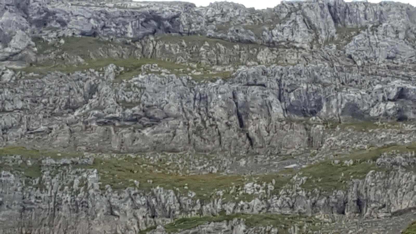
So I decided to rest for a bit, admire the view, and think about which way to go. Most of the way around was mixed stone and grass, with lots of scree for good measure. The rocks above me all had large holds, but they were not very stable. I was thus somewhat reluctant to commit to a climb, especially since I couldn't see anything obvious.
Maybe I was missing something. I zig-zagged around 2100m, from one side of the valley to the other, trying to find the easiest way through. Then it started raining, and I decided to give up and try the normal route. This involved an extra 300-400m, but what the hell. In the end, the normal route to the top was worth it. Though, when I got there, I couldn't really see what the alternative routes were. I guess I need to go there again with somebody more knowledgeable.
 |
| Normal route is on the right |
 |
| Normal route to the top |